The Waimakariri Irrigation Scheme covers approximately 24,000 Hectares, and supplies around 200 farmer-shareholders. In 2018, we were engaged to help the irrigation company establish a vision and a pathway towards protecting and enhancing indigenous biodiversity across the scheme by conducting a “stocktake” of existing sites of biodiversity interest or potential within the schemes’ area. The aim of this was to establish, first and foremost, what existing ecological habitat still remained and, if so, where this was so that decisions could be made about where to focus efforts first.
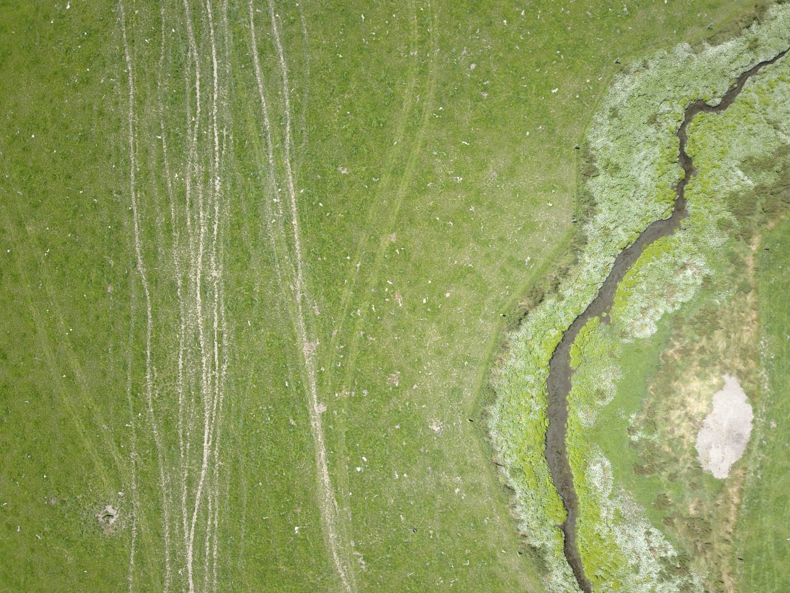
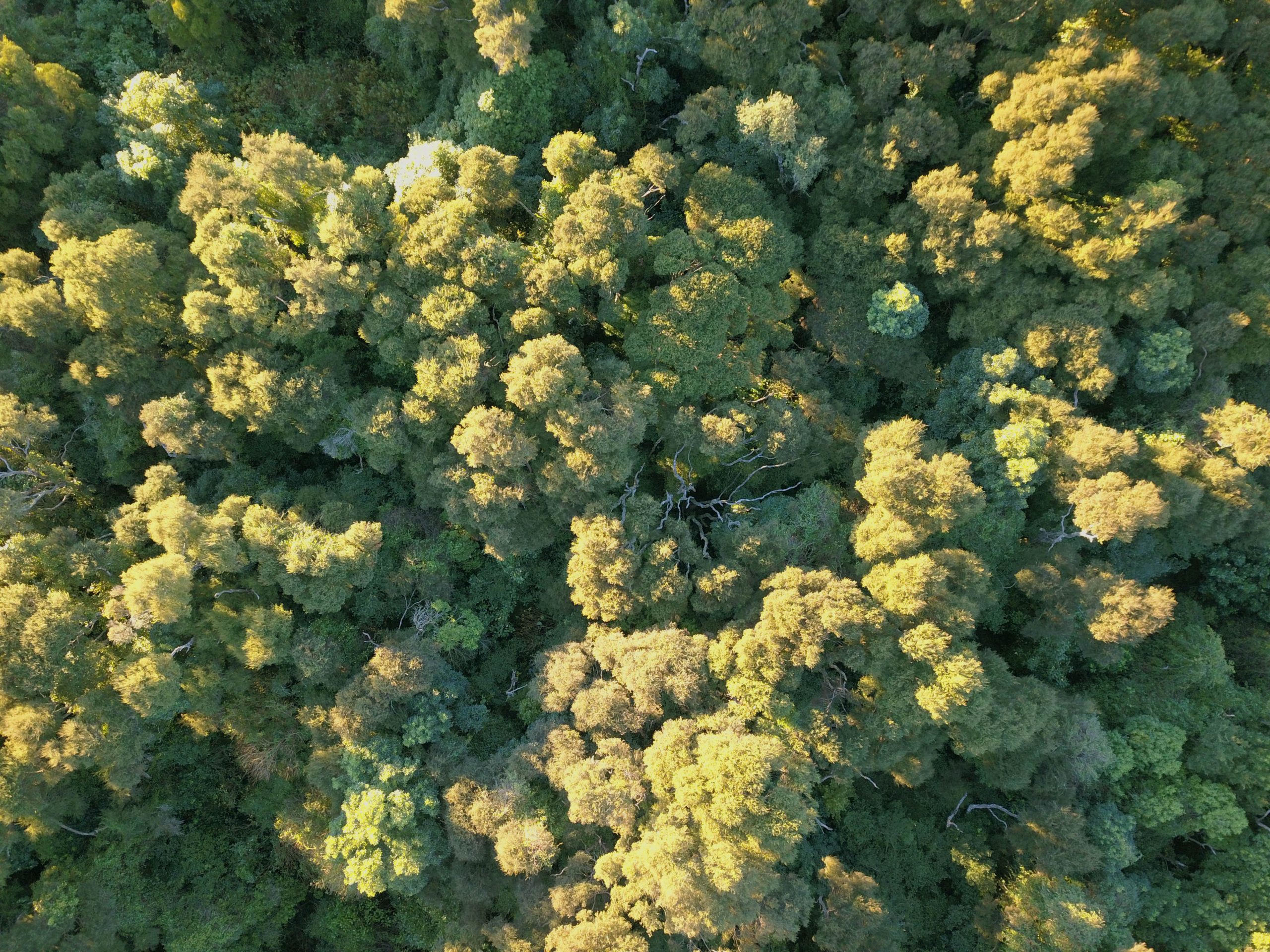
Using the Canterbury Land & Water Regional Plan to establish where the natural waterways were located within the farming landscape, we undertook a process of “interrogation” of each waterway by examining the entire length of each corridor using aerial imagery. This enabled us to plot sites of interest and allocate a reference code as well as an arbitrary value to each, with 1 being of little or no existing value but with the potential for restoration, and 5 being of high natural value.
With an area of 24,000 hectares to examine in less than 2 months, one of the biggest challenges was representing the key information in an easily digestible format for the clients, whilst at the same time making sure it would be easy to revisit for future detailed study. By layering a multitude of information in a digital map platform, we were able to produce a series of maps that showed “clusters” of sites of interest, but most importantly for the client how many of these were on shareholder land and therefore able to be accessed easily. In order to ensure easy future referencing and sharing of information, each site was recorded with a GPS location
The Biodiversity Stocktake has formed the basis of further studies for the same client since this time, which is currently enabling discussions with funding providers for possible investment and funding support for restoration on selected farms across this area.


